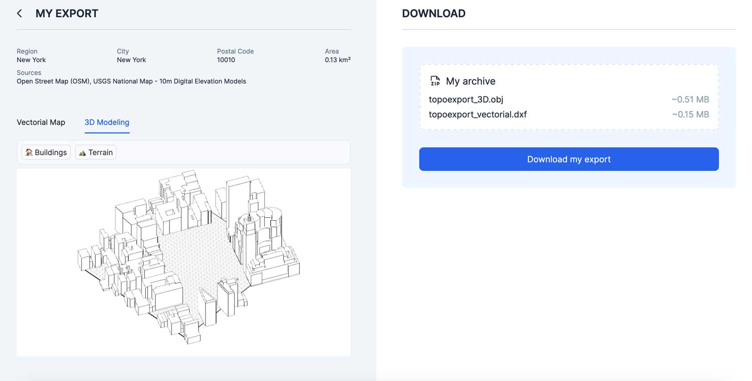
TopoExport is an easy-to-use web application that allows users to download high-resolution terrain data and 3D models based on trusted open source datasets.
TopoExport offers three categories of datasets for the selected area: high-resolution satellite raster data, 2D vector cadastral maps with contour lines and 3D terrain relief, and 3D building models. The available export formats DXF, PDF, SVG, STL and OBJ are standard output formats and tailored to the specific needs of the target group.
The powerful web app makes it possible to quickly obtain 3D data sets of the desired terrain section. This allows architects to physically output topographically accurate 3D print models or landscape planners to carry out terrain analyses based on the high-resolution 2D vector data.
By using trusted open source geodata for modeling and an uncomplicated web-based workflow, TopoExport positions itself as a user-friendly solution for the need for concrete terrain models.
While the basic functions are free of charge, additional functions can be activated via a premium account.
Subscribe to our Newsletter
3DPresso is a weekly newsletter that links to the most exciting global stories from the 3D printing and additive manufacturing industry.


